Elevation
2,042 m
Height of the crossing
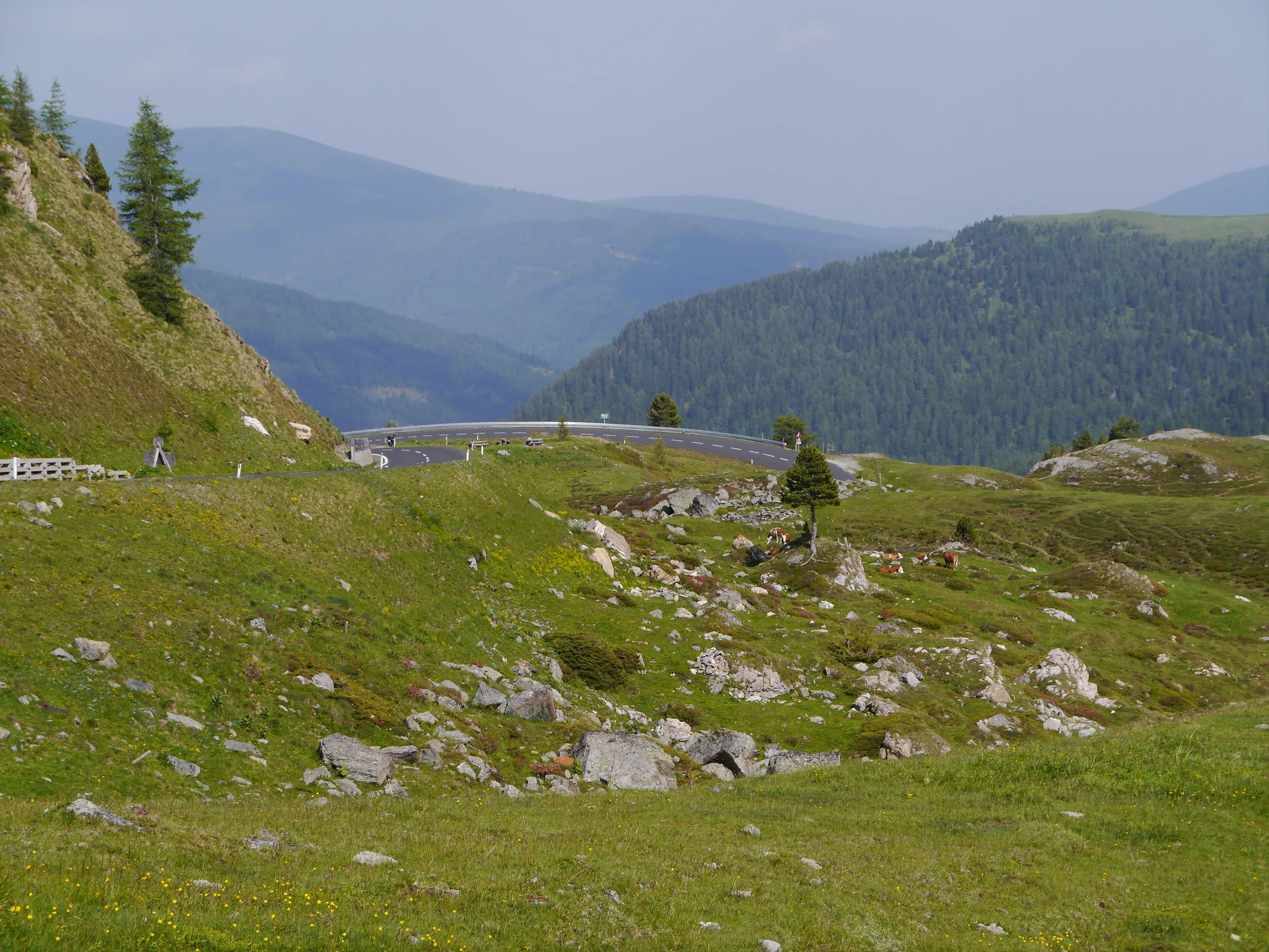
A gentle curve rhythm through Carinthia's rounded Nock Mountains.
The real line · right from the start
Experience the real route first – then explore its bends, terrain and surroundings on the interactive satellite map.
Map services load only after your click.
The most important values in one clear overview.
Height of the crossing
Alpine area and surroundings
AlpinChaser recommendation
Ride DNA
Ride DNA
Ride DNA
The total score combines the editorial ride profile with AlpinChaser community experience. Categories show the current weighted result.
Large and clear enough to compare before the ride, without hiding decisive values in small cards.
From Innerkrems, the panoramic road begins with a calm and scenic introduction to the Nock Mountains.
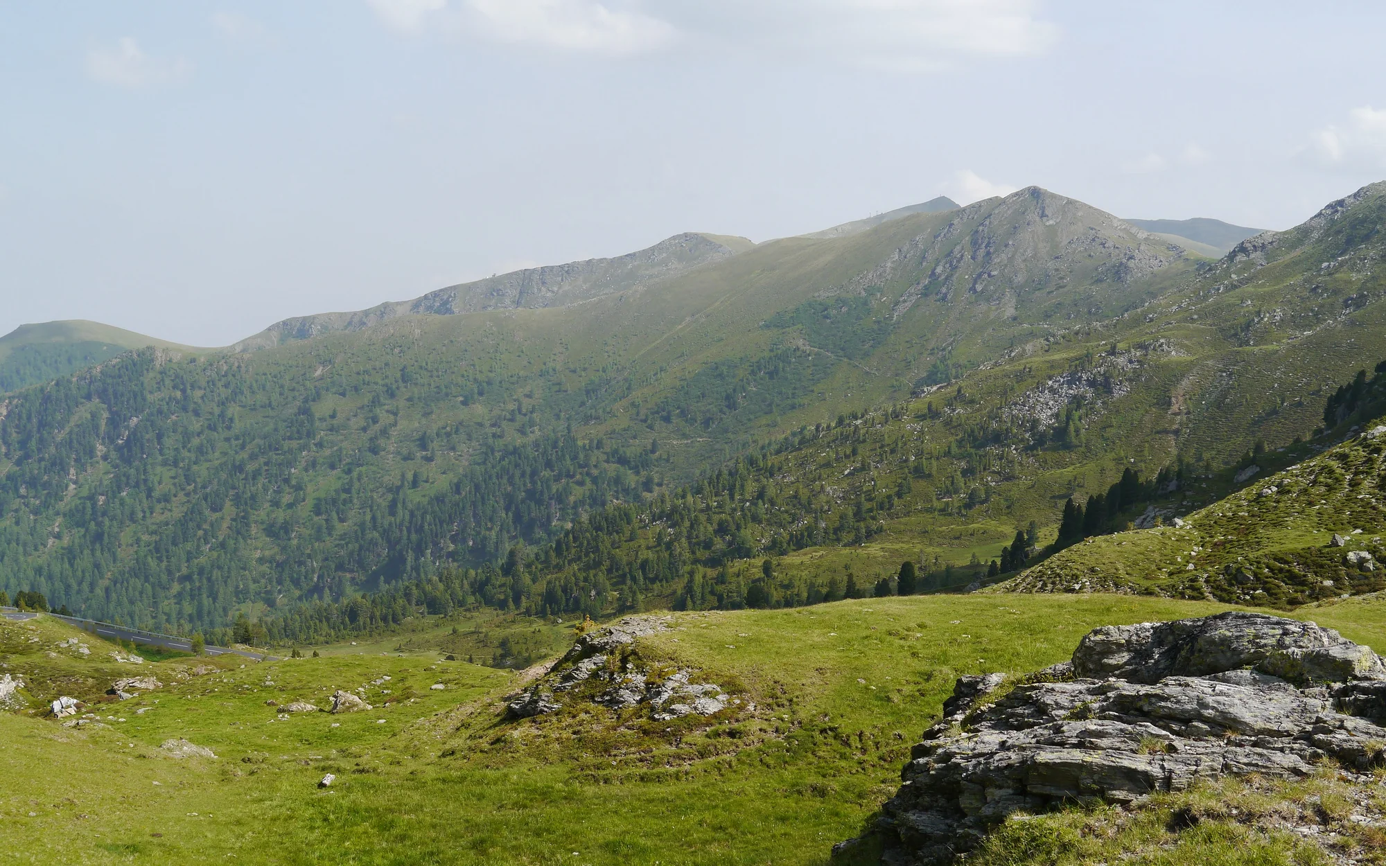
Nockalmstraße reaches an elevation of 2,042 metres in Carinthia.
This panoramic toll road crosses the rounded Gurktal Alps, where open alpine meadows and an even sequence of bends replace the dramatic rock walls found on many higher passes. The AlpinChaser riding score is 3.9 out of 5.
north is the recommended approach. From Innerkrems, the panoramic road begins with a calm and scenic introduction to the Nock Mountains.
Panoramic toll road Observe the seasonal winter closure Weather can change quickly at altitude
High-alpine roads can be affected by seasonal closures, snow, construction or short-notice restrictions. Check the official local road status on the day of travel.
Discover more than 650 passes, find the route that suits you and build your personal AlpinChaser collection with every ride.
For iOS and Android · Start for free
Scan the QR code to open AlpinChaser in the right app store.